
File:SVG-UC-Canada.svg

Size of this PNG preview of this SVG file: 512 × 352 pixels. Other resolution: 2,560 × 1,760 pixels.
Original file (SVG file, nominally 512 × 352 pixels, file size: 47 KB)
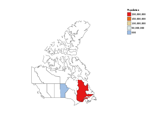
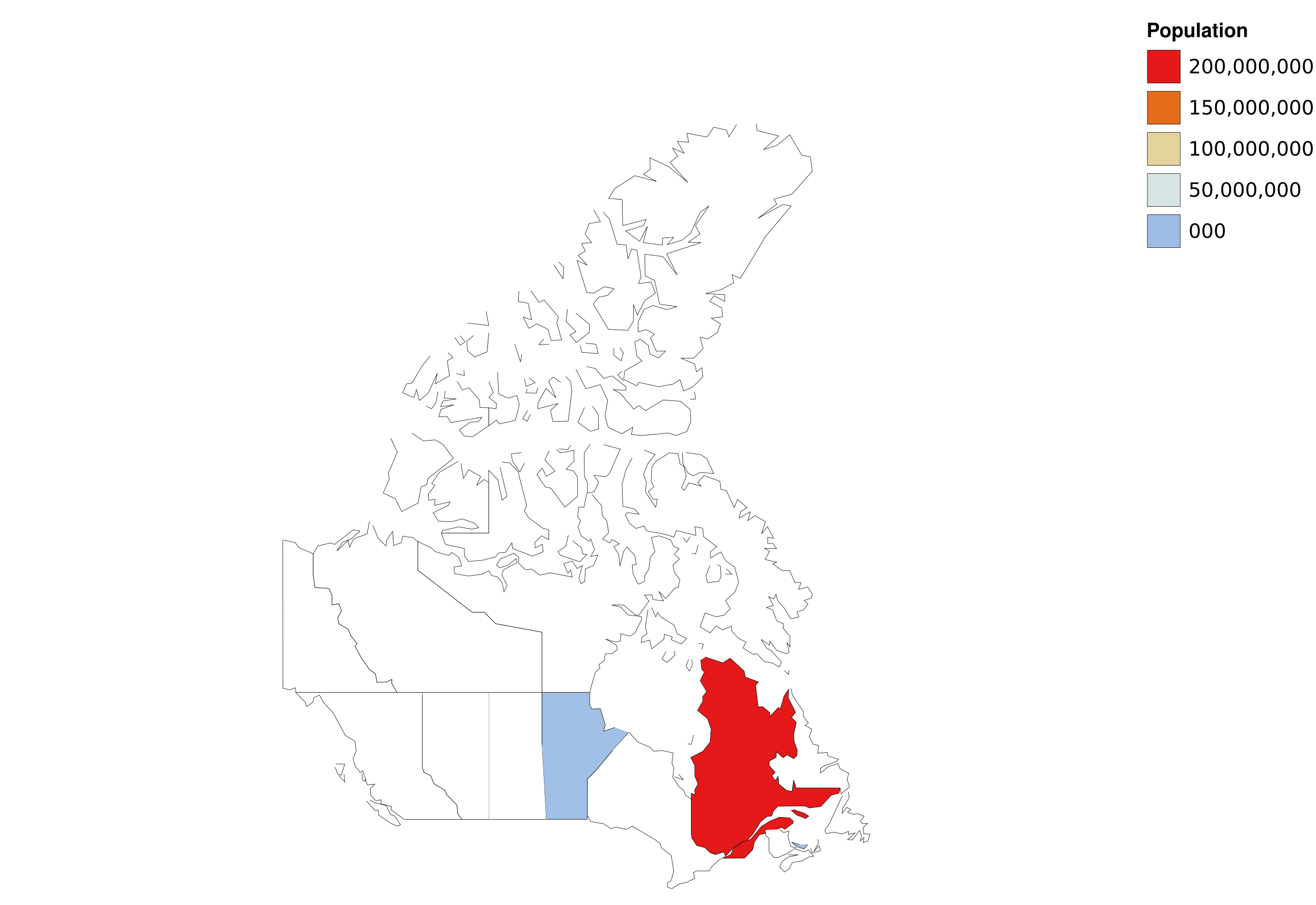
A map of Canadaian provinces. The legend suggests it is a population map, with colours representing differet levels of population, but only two provinces are coloured in. We should get a better example...
File history
Click on a date/time to view the file as it appeared at that time.
| Date/Time | Thumbnail | Dimensions | User | Comment | |
|---|---|---|---|---|---|
| current | 06:11, 1 May 2015 | | 512 × 352 (47 KB) | Charles (talk | contribs) | added missing offset attributes to stop elements in linear gradients |
| 17:14, 10 April 2015 |  | 512 × 352 (47 KB) | Charles (talk | contribs) | A map of Canadaian provinces. The legend suggests it is a population map, with colours representing differet levels of population, but only two provinces are coloured in. We should get a better example... |
You cannot overwrite this file.
File usage
The following page uses this file: