Why Text?
What is a map?
Geometry, in some spatial reference system
Textual properties, possibly rendered as map labels
Even if labeling is outside the scope of MapML, text presentation is essential to maps and worthy of forward thinking
Background and motivation
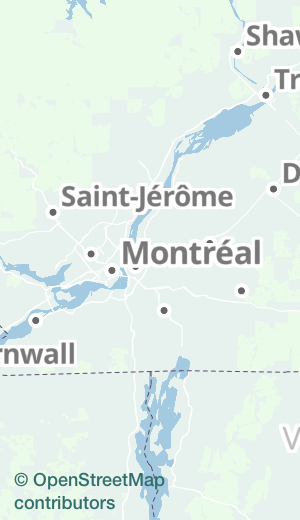
Myself: running OpenStreetMap-based services since 2013, focus on projects in East Asia
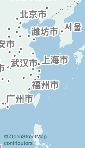
Protomaps: Map API using OSMOSM has a wealth of multilingual content
For this short presentation: narrow focus on Han (Chinese) script - only one part of global text
A simple dataset...
<feature>
<geometry>
<coordinates><point>139.7400553 35.6432274</point></coordinates>
</geometry>
<!-- Hong Kong, population -->
<properties>香港 ,75000000</properties>
</feature>
<feature>
<geometry>
<coordinates><point>114.1849161 22.3506270</point></coordinates>
</geometry>
<!-- Minato-ku (a municipality in Tokyo), population -->
<properties>港区 ,243000</properties>
</feature>
A simple "map" in HTML...
香港 7,500,000
港区 243,000
zh-hant (Traditional Chinese)
港
jp (Japanese)
港
Han Script: Locale Variants
Place names share a codepoint within Unicode "CJK Unified Ideographs": U+6E2F 港
Variations are common. examples: 艹,辶 have different # of strokes depending on region
Place names are proper nouns, and users may be sensitive to how they are displayed
Maps are inherently multilingual documents; multiple languages on one map is unexceptional!
Web Standards
    <span lang="zh-hant-hk">香港</span>
    <span lang="ja">港区</span>
HTML standards solution: element-level lang attributes. Correct display of localized text is supported by markup and implemented in major browsers. Pan-CJK fonts ship with operating systems
also, lang attributes are recommended to power accessibility features such as screen readers.
Documents vs. Maps
HTML
Recommended: one lang attribute at document level <html lang="en-us">
In cases of multilingual text, element-level lang tagging
Maps
Many map services provide only one version for all user languages
Client-rendered maps may still display local names + user transliteration
Documents vs. Maps
Do graphics elements in HTML documents (SVG, Canvas) support lang attributes at the sub-document (element) level?
What is the current state of locale-specific text for web maps?
What enhancements to web standards would be useful?
SVG
香港
港区
SVG Results
<svg>
  <text x="70" y="200" lang="zh-hant">香港</text>
  <text x="150" y="150" lang="ja">港区</text>
</svg>
Browser
document-level lang
element-level lang
Safari 13
✅
❌
Firefox 79
✅
✅
Chrome 84
✅
❌
Edge 85
✅
❌
Canvas Results
<script>
  var ctx = document.getElementById('canvas').getContext('2d');
  ctx.font = '30px sans-serif'; // no way to specify lang!
  ctx.fillText('香港', 70, 200);
  ctx.fillText('港区', 150, 150);
</script>
Browser
document-level lang
element-level lang
Safari 13
✅
❌
Firefox 79
✅
❌
Chrome 84
✅
❌
Edge
✅
❌
Canvas FormattedText proposal
Server-rendered maps...
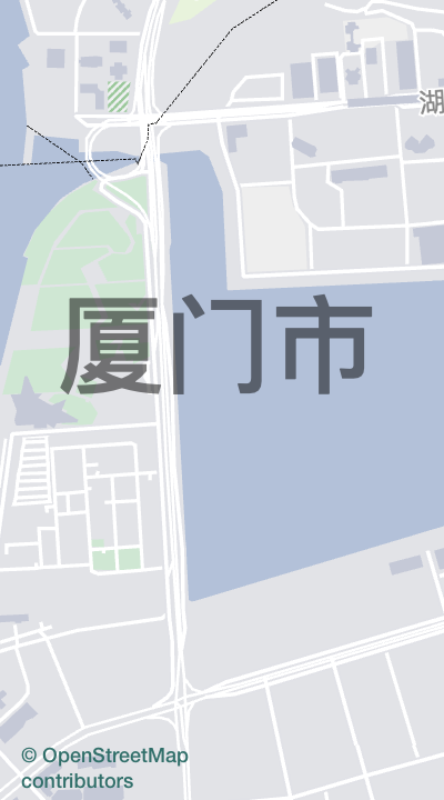
Slippy maps: server-generated images generally default to one region via fonts
OpenStreetMap default tileset: policy is display place names in the local language
However, place names in China rendered using Japan variants
Work to be done: add features to Mapnik, data to support locale-specific text
openstreetmap-carto: What about Han Unification?
Client-rendered maps with WebGL
State of the art WebGL map renderers generate or download Signed Distance Fields (SDF)
Great graphics performance; tradeoff is complexity, need for downloads over network, visual fidelity
Shipping an entire text shaping and rendering stack via JS or even WASM has little in common with web standard text implementations
Client-rendered hybrid approach
Tangram - Mapzen project, now Linux Foundationweb standard text capabilities via Canvas : Variable fonts, Indic scripts, right-to-left, CJK variant fontsAlso: OpenLayers , Protomaps 2D
Text is rendered at a single size
OffscreenCanvas vital to making these performant
Aside: HTML <video>
Video has accompanying WebVTT standard for presenting timed text
© 2008, Blender Foundation / www.bigbuckbunny.org
WebVTT Results
Use explicit Cue Language Spans for assigning presentation language
WEBVTT
label
00:00.000 --> 00:05.000 line:50%
<lang zh>港</lang> <lang ja>港</lang>
Browser
document-level lang
cue-level lang
Safari 13
❌
❌
Firefox 79
✅
✅
Chrome 84
✅
❌
Edge 85
✅
❌
Conclusions
Multi-language or multi-script maps are not edge cases
Text documents on the web support element-level lang attributes - an improvement over current web maps
Graphical standards: svg, canvas, video, map - if responsible for text presentation - should have these capabilities as well